News
Top Features of the D-RTK 3
Published
March 5, 2025
Maximize Precision and Versatility with the DJI D-RTK 3 Multifunctional Station
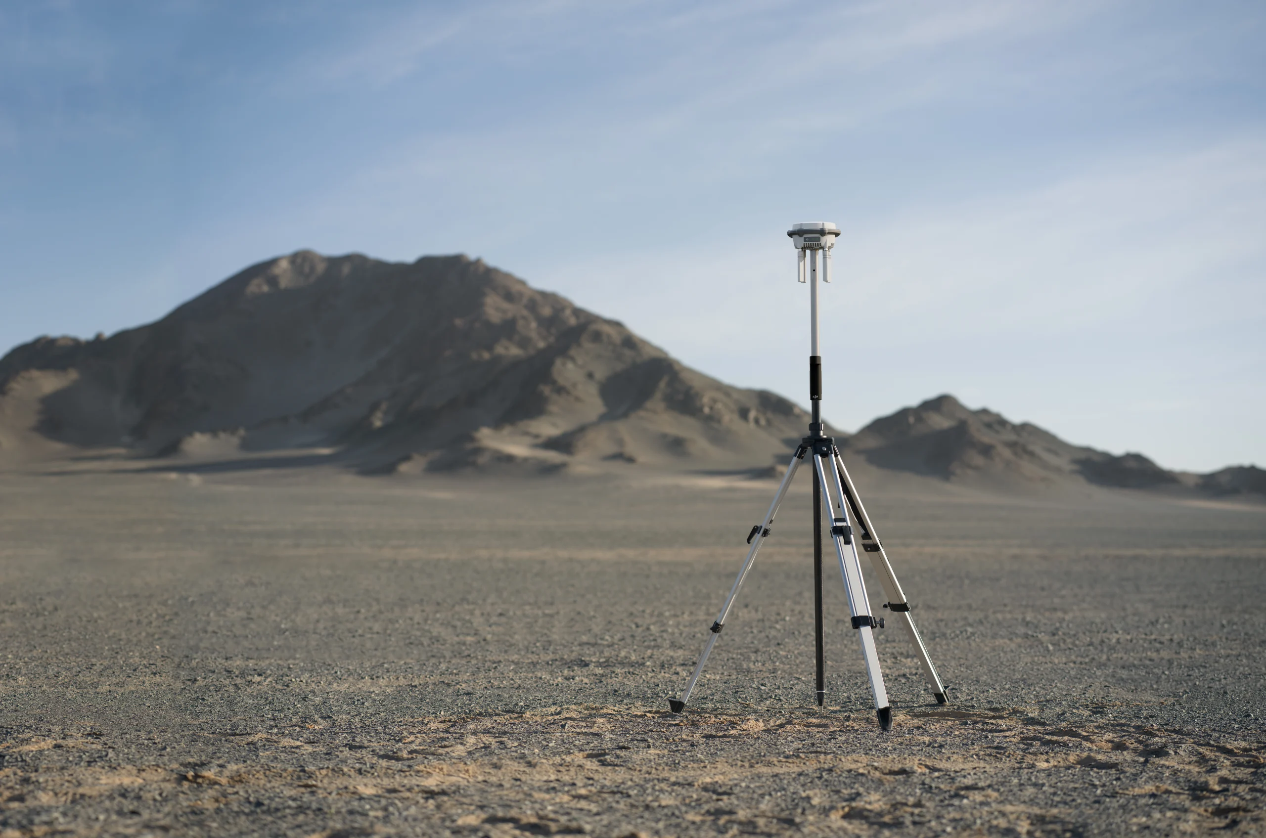
The DJI D-RTK 3 Multifunctional Station is a game-changer in drone positioning technology, delivering unmatched precision and versatility for enterprise applications. Whether you need high-accuracy surveying and mapping or a reliable image transmission relay for inspections and search and rescue missions, the D-RTK 3 offers groundbreaking performance and adaptability.
Centimeter-Level Accuracy for Maximum Precision
At the heart of the D-RTK 3 is its advanced filtering antenna design, ensuring centimeter-level positioning accuracyeven in challenging environments. Supporting Precise Point Positioning (PPP), it delivers decimeter-level accuracyeven in areas with limited internet connectivity. The system effectively mitigates multi-path interference and efficiently tracks low-elevation satellites, making it an ideal solution for mapping, inspections, and 3D modeling.
The New Matrice 4 Series
Advanced Multi-System Satellite Compatibility
The D-RTK 3 Multifunctional Station is engineered to work seamlessly with five global navigation satellite systems (GNSS) across 19 frequency points, providing enhanced satellite coverage for superior positioning reliability in any location. This makes it an essential tool for professionals in surveying, agriculture, construction, and public safety.
Broadcast Mode – Seamless Multi-Drone Management
Designed for large-scale operations, Broadcast Mode enables multiple devices to connect simultaneously without extra configuration. O4 Enterprise video transmission and directional antennas support stable video transmission over distances of up to 15 km, making it ideal for:
- Agricultural drone fleets managing crop spraying operations.
- Multi-drone surveying and inspection teams.
- Emergency response units coordinating UAV operations.
Powerful Multi-Sensor Systems
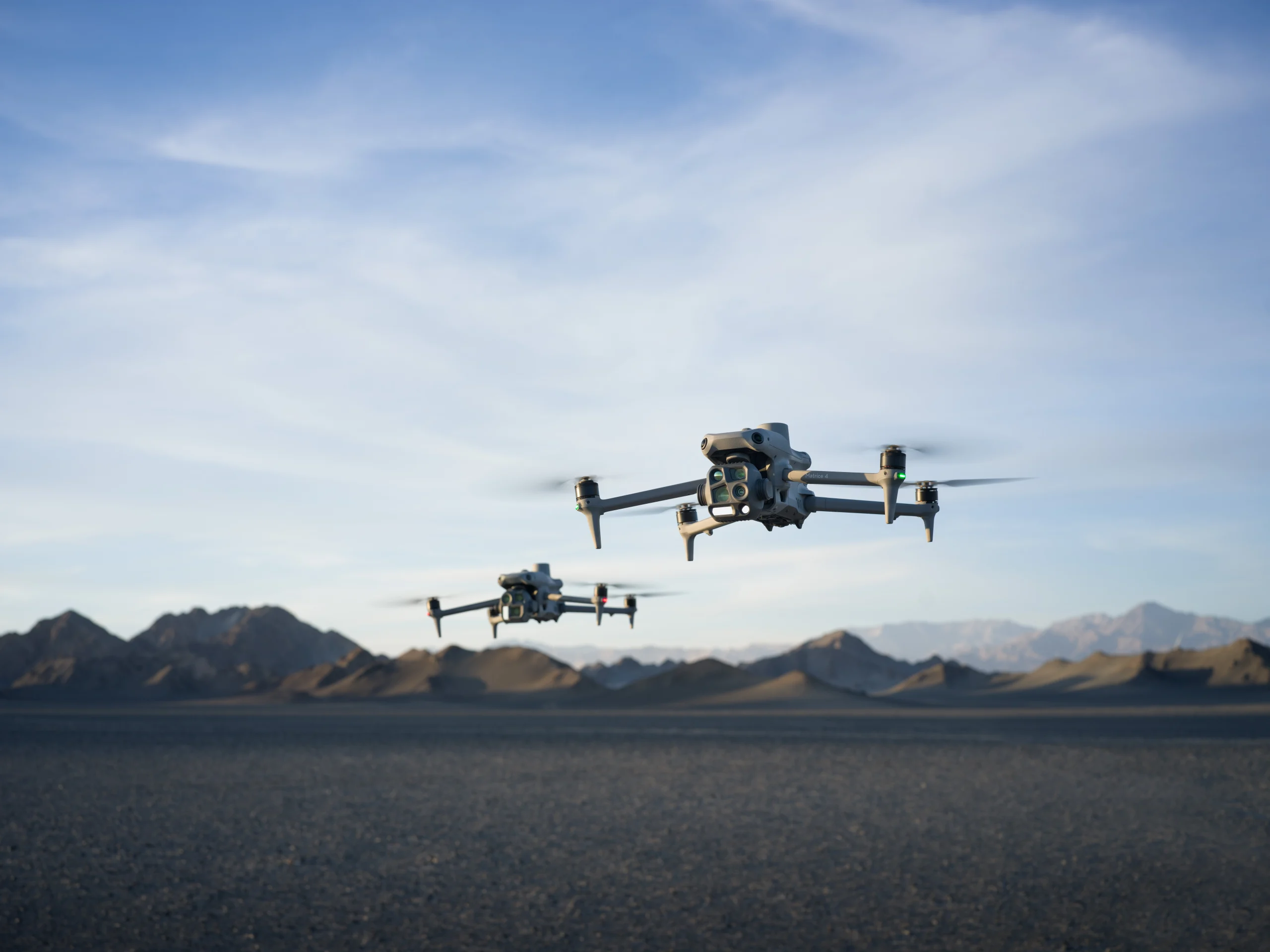
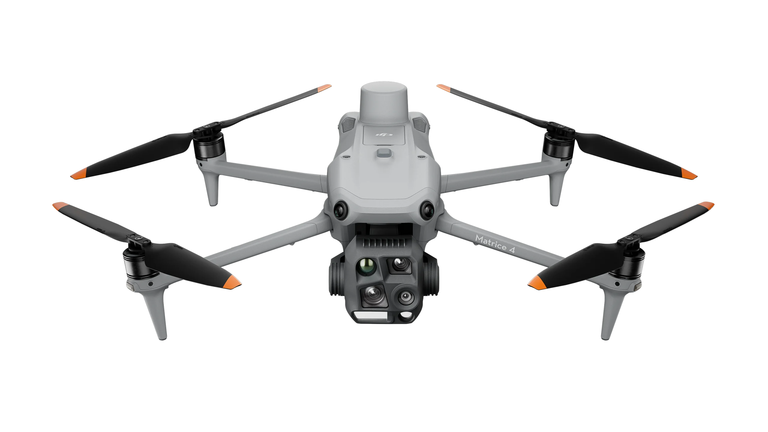
The Matrice 4T and 4E models feature advanced multi-sensor systems for exceptional visual and data-collection capabilities. The Matrice 4T includes versatile cameras—wide-angle, medium telephoto, telephoto, and an infrared thermal camera for high-resolution thermal readings—plus a laser range finder measuring up to 1,800 meters, making it ideal for search and rescue. The Matrice 4E includes all tele cameras and laser range finder of the M3T, but features a mechanical shutter on the wide-angle camera that excels in rapid mapping with 0.5-second interval shooting, making it efficient for surveying.
| Feature | Matrice 4T | Matrice 4E |
|---|---|---|
| Wide-Angle Camera | 1/1.3 CMOS 48 MP Effective Pixels f/1.7 Format Equivalent: 24 mm |
4/3 CMOS 20 MP Effective Pixels f/2.8-f/11 Format Equivalent: 24 mm Mechanical Shutter |
| Medium Tele Camera | 1/1.3 CMOS 48 MP Effective Pixels f/2.8 Format Equivalent: 70 mm |
|
| Tele Camera | 1/1.5 CMOS 48 MP Effective Pixels f/2.8 Format Equivalent: 168 mm |
|
| Laser Range Finder | Measurement Range: 1800 m (1 Hz); Oblique Incidence Range (1:5 Oblique Distance): 600 m (1 Hz) Blind Zone: 1 m; Range Accuracy (m): ± (0.2 + 0.0015 × D) |
|
| Infrared Thermal Camera | Resolution 640 × 512 f/1.0 Equivalent Focal Length: 53 mm Uncooled VOx Microbolometer Supports High-Res Mode |
N/A |
| NIR Auxiliary Light | FOV: 6° Illumination Distance: 100 m |
N/A |
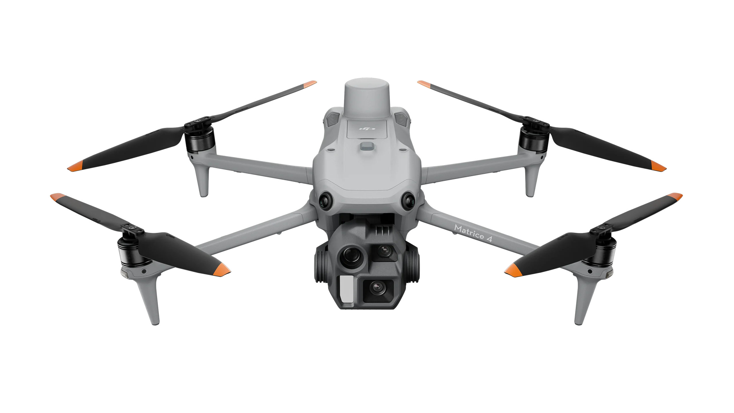
Matrice 4T and Matrice 4E
Intelligent AI-Powered Operations
The DJI Matrice 4 Series showcases intelligent operations with AI, featuring a built-in model for detecting vehicles, vessels, and subjects during search and rescue or routine flights, and supports switching to other models, enabling the expansion of AI application scenarios. DJI now also provides the necessary model training tools and third-party developer certification process to access onboard computing capability, helping expand new drone AI application fields. Its laser range finder provides real-time measurements for tasks like marking inspection targets or calculating wildfire areas, easily shared via DJI Pilot QR code or DJI FlightHub 2. DJI Pilot 2 enhances patrols and rescues by highlighting camera frame centers and observed areas on maps.
Efficient flight modes, including cruise control and Smart Track for precise tracking, boost operational capabilities, while the POI feature aids 3D modeling and fixed-point observations.

AI power for Smarter Operations
Relay Mode – Extended Range for Enhanced Coverage
The Relay Mode of the D-RTK 3 is designed to extend operational range by positioning the station in an elevated location, ensuring stronger signals between drones, controllers, and relay stations. This is particularly useful for:
- Urban environments where buildings may cause signal obstructions.
- Remote areas with mountainous terrains or deep valleys.
.
Excel In Low-Light Environments
The Matrice 4 series excels in low-light conditions with upgraded Night Scene Mode, offering full-color night vision in three modes and enhanced noise reduction. Equipped with an IR Cut Filter and NIR auxiliary light, it ensures clear visibility, making search and rescue subjects easily detectable. The Matrice 4T’s NIR illumination extends lighting up to 100 meters, ideal for wildlife protection. It supports infrared High-Res Mode at 1280 × 1024 resolution, revealing fine temperature details. Six high-definition low-light fisheye lenses enhance positioning and obstacle avoidance for safe urban navigation.
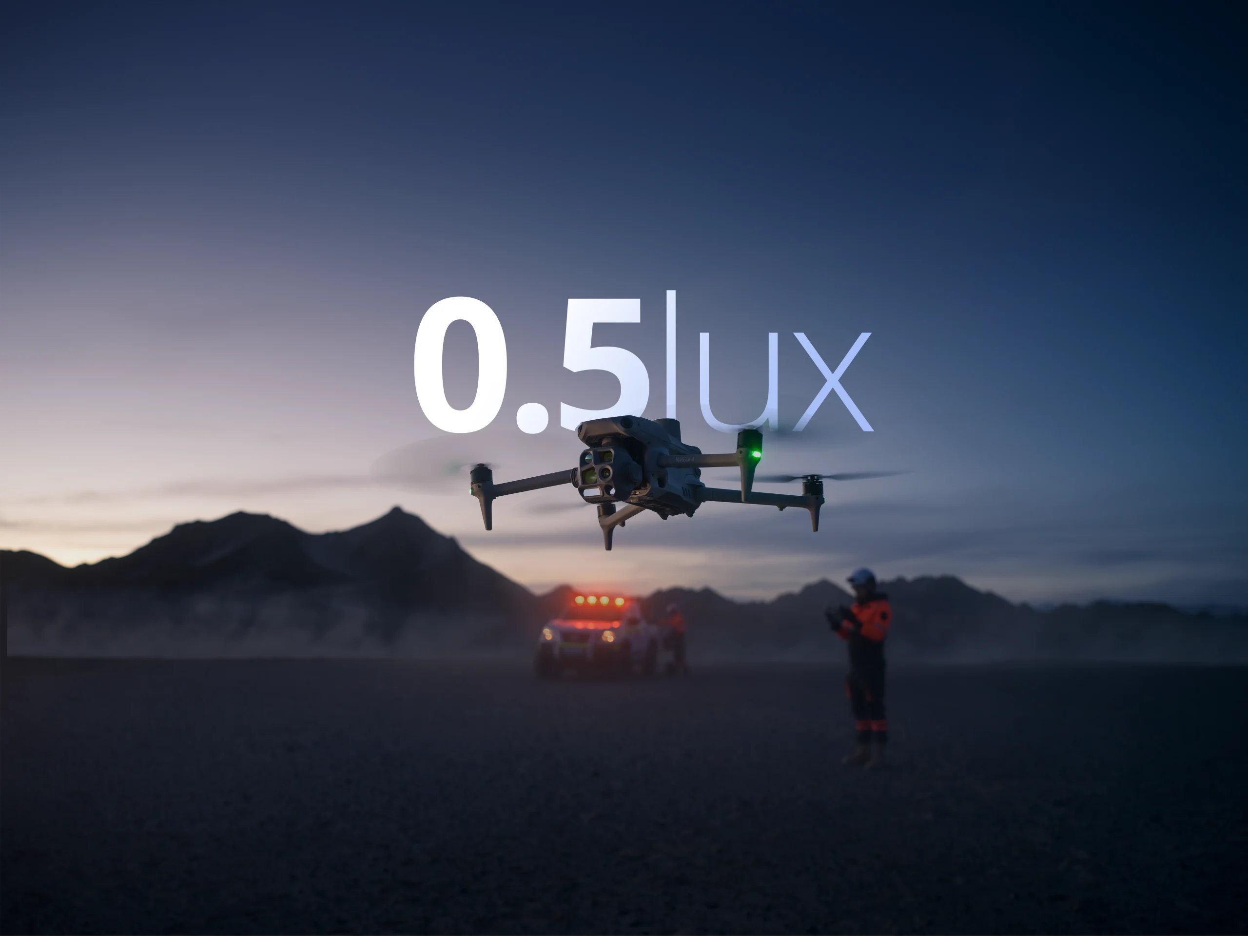
Improved Night Capability
Precision Mapping for Surveying and Construction
The Matrice 4E enhances geospatial mapping with rapid 0.5-second interval shooting and speeds up to 21 meters per second. Its wide-angle camera supports orthophoto and oblique modes, while 5-directional oblique and 3-directional ortho capture maximize area coverage. It also enables Smart 3D Capture, allowing users to create rough models on the remote controller and generate precise mapping routes for detailed measurements of irregular buildings. It also displays virtual space routes and waypoint photos, enhancing flight safety assessment and coverage area analysis. Distortion Correction 2.0 provides high-precision in-camera distortion correction with residual distortion less than 2 pixels. DJI Pilot 2 auto-generates survey reports, offering key insights and enabling on-site adjustments to improve efficiency.
Performance Highlights of the D-RTK 3
The D-RTK 3 Multifunctional Station sets a new benchmark in reliability and accuracy, offering:
- Ionosphere resistance, ensuring stable operation even during geomagnetic disturbances.
- Multi-frequency support with 19 frequency points, enhancing accuracy over single-frequency systems.
- Field-tested reliability, reducing error margins in complex operational environments.
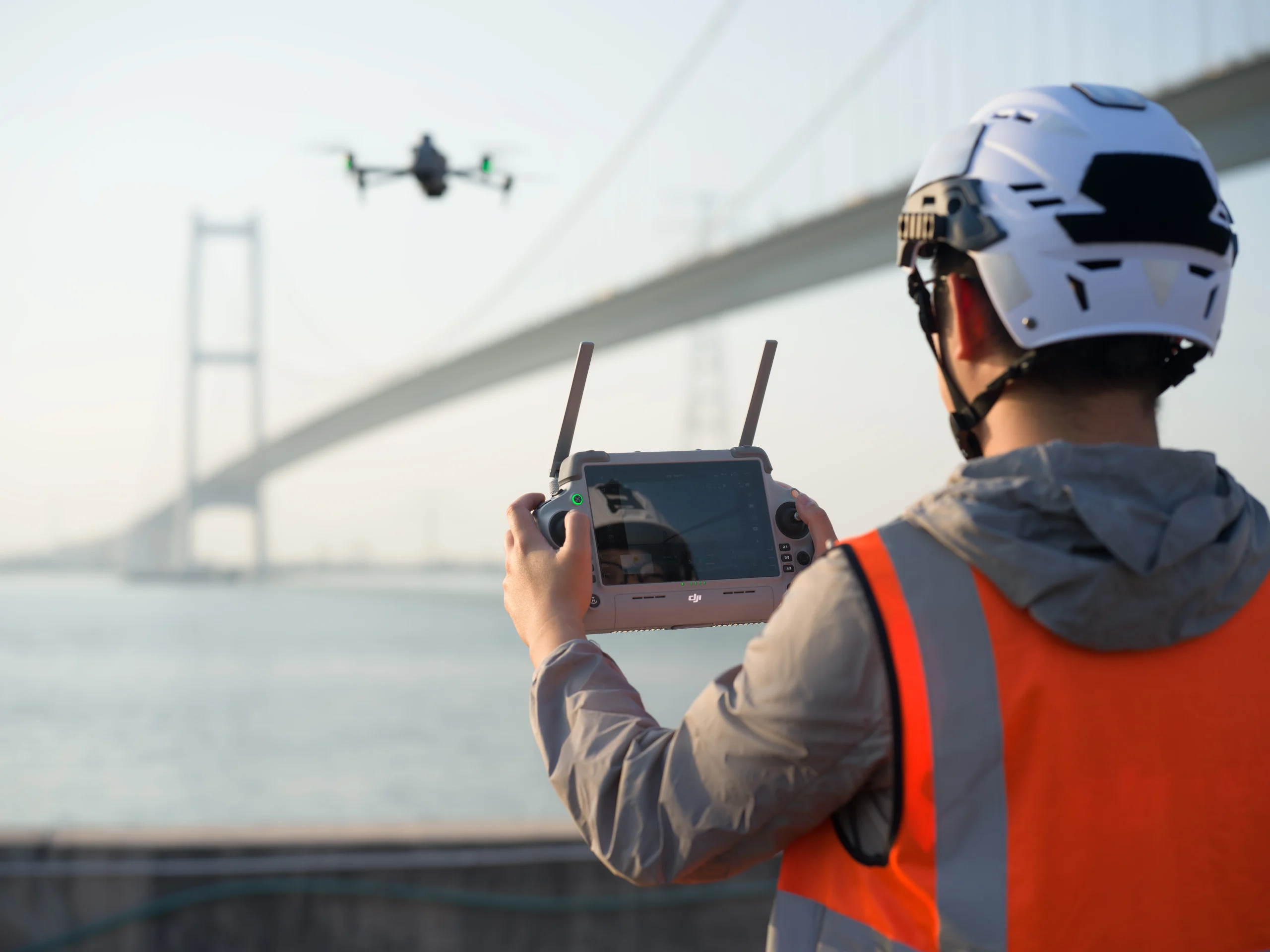
Matrice 4 series in infrastructure inspection
Innovative Safety and Navigation Systems
DJI’s self-developed RTK module comes standard in the Matrice 4 Series, providing comprehensive visibility for enhanced safety. Its GNSS+Vision Fusion Positioning and Navigation System enables worry-free flights even in areas with poor GPS signals.
Safety Highlights:
- Omnidirectional obstacle sensing prevent potential collisions.
- Intelligent guidance automatically plans paths around mountainous terrain.
- Return-to-Home functionality works seamlessly in GNSS-deprived environments.
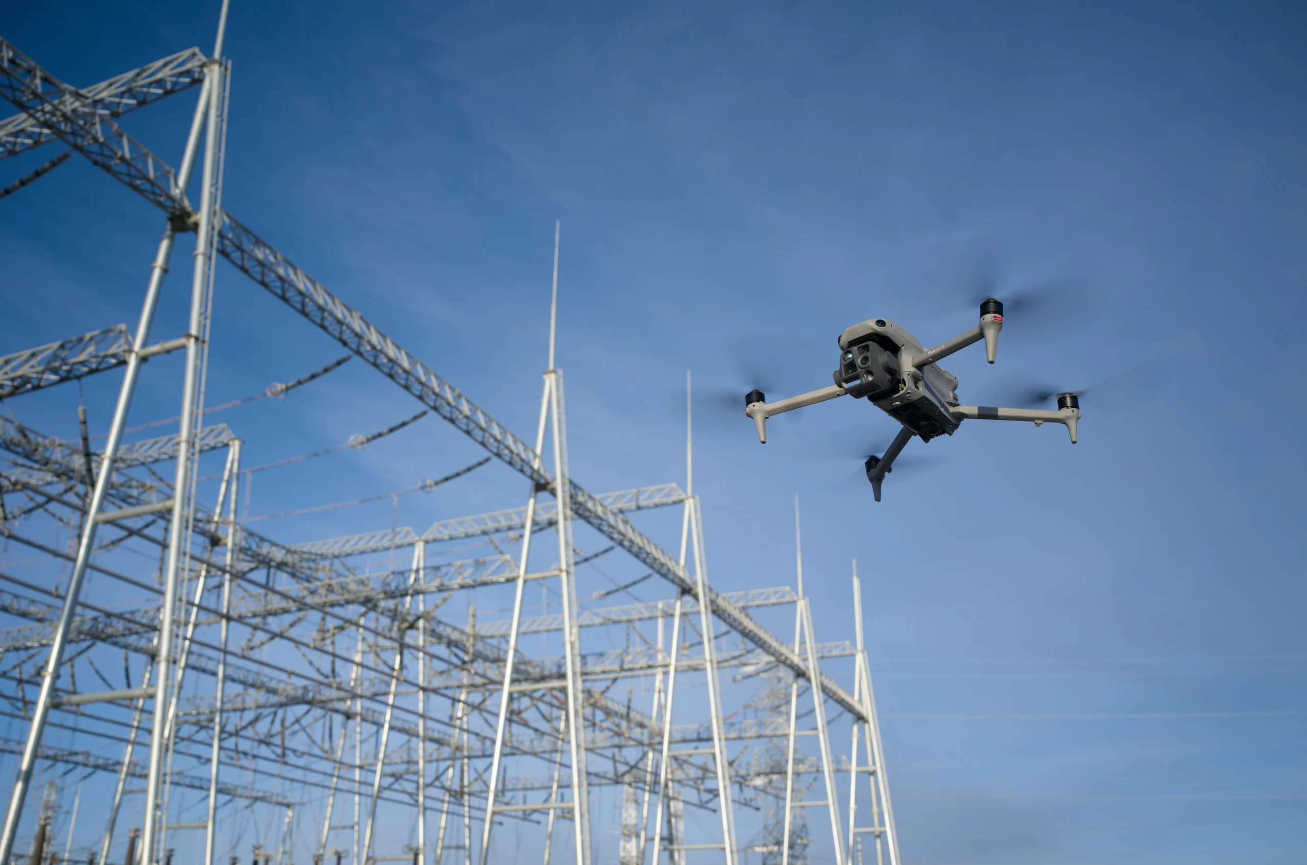
Omnidirectional Obstacle Sensing
New Heights in Video Transmission
The O4 Enterprise video transmission system redefines performance in challenging environments. With the Matrice 4 Series’ 8-antenna setup and a high-gain antenna on the remote controller, it achieves an impressive 25 km maximun transmission range. The system offers a download bandwidth of 20 MB/s, doubling the bitrate of the Mavic 3 Enterprise Series, for precise and stable image transmission. Additionally, the Matrice 4 series supports the optional DJI Cellular Dongle 2, enhancing signal stability with 4G image transmission.
O4 Enterprise Video Transmission System
Efficient Accessory Ecosystem
The Matrice 4 Series upgrades accessories for more efficiency and adaptable operations. The DJI AL1 Spotlight can clearly illuminate subjects even from 100 meters away, supporting both always-on and strobe modes. It also offers enhanced coverage in wide-angle modes.
Meanwhile, the DJI AS1 Speaker delivers powerful audio, broadcasting up to 300 meters and reach 114 decibels at 1 meter. Further elevating operations, the D-RTK 3 Multifunctional Station supports drones with centimeter-level positioning accuracy, extending image transmission through signal relay* at elevated altitudes and facilitating high-precision data collection in network-free areas. Additionally, it can also be used to mark ground control points.
* Relay station mode only supports DJI Matrice 4 Series
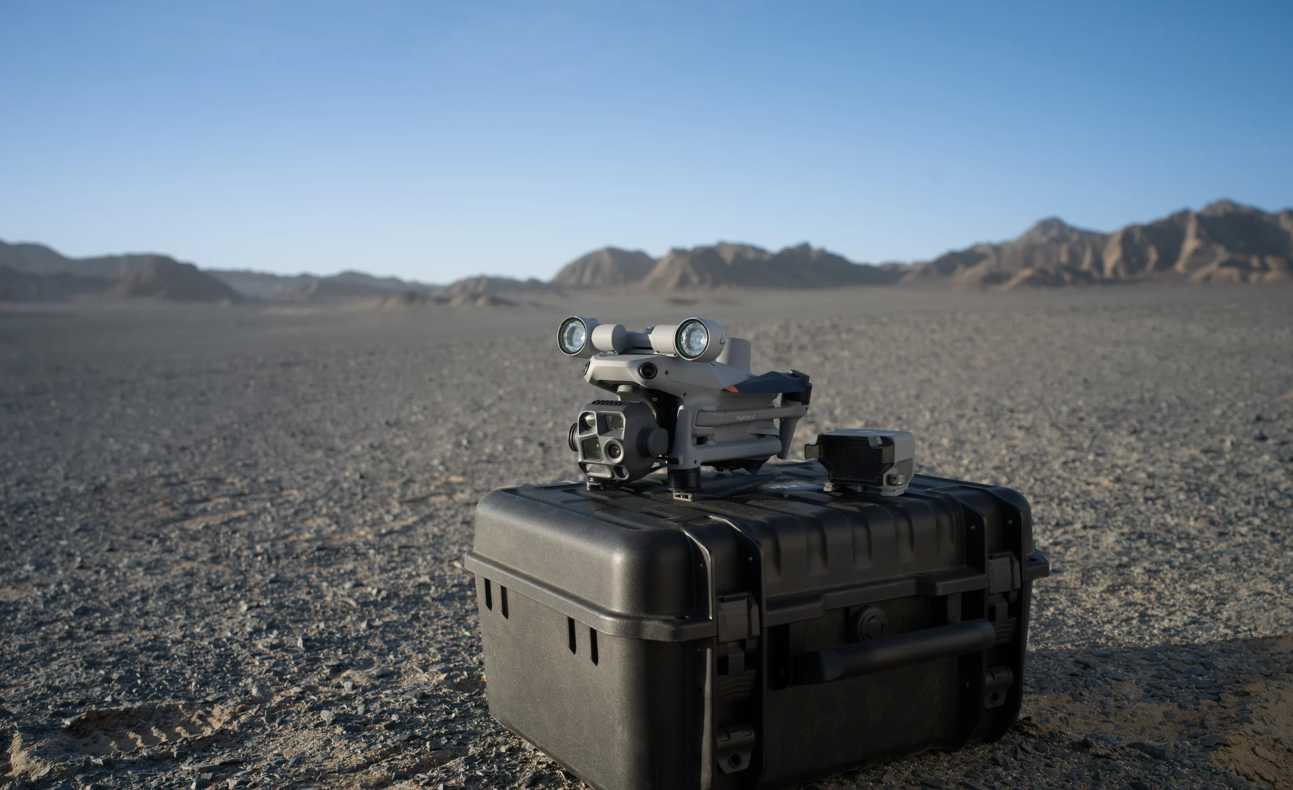
Gimbal-Following Spotlight and Real-Time Voice Speaker
Seamless Software Integration
The Matrice 4 Series offers diverse software tools to simplify mission planning and data analysis.
- DJI Pilot 2 refines user interfaces, featuring a customizable intelligent function toolbar and support for various types of flight routes. Additionally, it includes virtual space models and route preview functions.
- DJI Terra enables high-precision camera distortion correction for the Matrice 4E. It supports free offline PPK processing of visible light images and allows for importing D-RTK 3 data.
*One-year DJI Terra license provided with Matrice 4E purchase.
- DJI FlightHub 2 has been upgraded for remote control, allowing a variety of flight route planning functions, specifically for the Matrice 4 series aircraft. Operators can control payloads and aircraft simultaneously through Live Flight Controls and synchronize multiple livestreams during multi-drone operations for efficient air-ground collaboration.
* Users who purchase the Matrice 4 Series and initially bind to FlightHub 2 will receive corresponding live streaming minutes, map image quotas and storage space.
- DTAT 3.0 provides thermal analysis tool to mark, analyze, and process images, detecting abnormal temperature points.
Elevate Your Operations with the Matrice 4 Series
Whether you’re spearheading a search-and-rescue mission or inspecting complex infrastructure, the DJI Matrice 4 Series delivers superior intelligence, safety, and operational efficiency. Its seamless integration of AI and advanced sensor technology ensures that no matter the challenge, you’ll always have the upper hand.
Ready to take your aerial operations to the next level? Contact DJI or your local authorized dealer to schedule a demo or learn more about purchasing options.